|
SLVARC Field Day Saturday 28'th and Sunday 29'th of June 2003 -- Operating as AE6AD Saturday 26'th and Sunday 27'th of June 2004 -- Operating as KQ6YV
Eagle Rock is 2488 feet above sea level and is on Empire Grade
(just past Jamison Creek Road) above Boulder Creek, CA 95006.
For more information and the rules for Field Day, check out the
ARRL Field Day page.
Below are a few maps collected, from various places, to help find Eagle Rock.
Click on the appropriate one to go to the original source.
73's -- Martin W6LHI (was KG6QPB) |
|
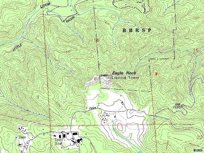 Topo map from Microsoft TerraServer |
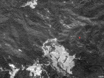 Aerial Photo from Microsoft TerraServer |
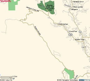 Yahoo street maps's |
|